25
rendez-vous
·amura·
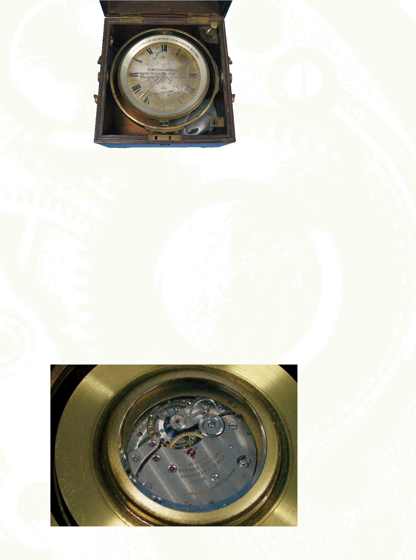
Conocer la diferencia entre la hora en el sitio en que
se encuentra una embarcación y la hora en un punto
que se toma como referencia (que actualmente conoce-
mos como meridiano “cero” o de Greenwich) es lo que
permite a un navegante conocer su longitud, pero la
precisión de la posición va de la mano con la exactitud
en que se mide aquel intervalo de tiempo.
La precisión era el problema, ya que luego de sema-
nas o meses en el océano la fiabilidad de los relojes ce-
día ante las variaciones de temperatura, la humedad y al
movimiento inestable de un barco en el que, por su-
puesto, un reloj de péndulo es completamente inútil.
El problema se hacía más crítico a cada momento, la
lucha internacional por el dominio de los océanos era
implacable, sin mencionar a los piratas. Sin embargo, la
gota que derramó el vaso fue lo que ocurrió en 1707
cuando una flota inglesa, al mando del almirante Clow-
disley Shovel, encalló cerca de las islas de Sicilia, entre
una niebla tan espesa que sólo permitía 20 centímetros
de visibilidad.
El desastre, donde más de 2,000 hombres perdieron
la vida, pudo haberse evitado si el almirante hubiese co-
nocido su longitud exacta.
Being able to calculate the difference in time
between the site where the vessel is located and the
time at a point of reference (that we now know as
meridian zero or Greenwich time) is what allows navi-
gators to establish their longitude, but the precision of
the position goes hand in hand with the exactness
with which the time interval can be measured.
Precision was the problem, because after weeks or
months at sea the reliability of timepieces was affected
by variations in temperature, humidity and the insta-
bility of the vessel, on which, naturally, a clock that
functions with a pendulum is completely useless.
The problem became more and more critical by
the moment. The international struggle to dominate
the seas was relentless and there was also the matter
of pirates. The straw that broke the camel’s back, how-
ever, occurred in 1707 when an English fleet, under the
command of Admiral Clowdisley Shovel, was grounded
near the islands of Sicily in fog that was so thick that
visibility was only 20 centimeters (12 inches).
The disaster, in which more than 2,000 men lost
their lives, could have been avoided if the admiral
would have known the exact longitude.


