45
compás int •
compass int
·amura·
fiord that is delimited by Taiaroa Head. On the east
coast, at the foot of the cliffs, we could see a colony of
yellow-eyed penguins and, further on, one of sea lions,
before discovering the protected bays limited by
Mount Charles, where we started our voyage south.
The sun was shining, the sea was calm, and we
soon reached the region of the Catlins, those forest-
covered hills that extend down to the sea, creating
sumptuous bays once inhabited by Moa hunters.
Now, many of these hills serve as grazing lands for
sheep, whose meat is prepared deliciously. Kaka
Point marks the end of large Molyneaux Bay, with its
small port. Passing Point Nugget, which is dominat-
ed by a lighthouse, we found seals, sea lions and yel-
low-eyed and blue penguins.
We then discovered a series of bays (Cannibal,
Surat and Jack’s Bay with its blow hole, that shoots
sea water into the air), alternating with desolate,
white sand beaches and cliffs, the small town of
Papatowai, at the foot of the Catlins, that are 700 m
(2296.6 ft) high, at the mouth of the Tahakopa River
that branches off from the beautiful bay of the same
name. The coast is lovely and dolphins frequently
accompanied us in the tranquil waters. We saw the
Cathedral Caves, accessible only at low tide, deep
Porpoise Bay, navigable only in small boats and, pass-
ing Slope Point, the southernmost point of the island,
we arrived at Waipapa Point where, in 1881, the SS
Tararua was shipwrecked and only 20 of the 151 pas-
sengers survived. This is the end of the Catlins and
the beginning of a flat, swampy terrain. We finally
entered Invercargill Bay, the country’s southernmost
colonia de leones marinos, al pie de los acantilados, an-
tes de descubrir las protegidas bahías delimitadas por el
Mount Charles y emprender el recorrido hacia el sur.
El sol brillaba, el mar estaba tranquilo y alcanzamos
rápidamente la zona de los Catlins, esas colinas boscosas
que llegan al mar, creando suntuosas bahías una vez ha-
bitadas por los cazadores moa. Ahora, muchas de esas
colinas sirven de pastizales a los borregos, cuya carne es
preparada de manera exquisita en este lugar. El Kaka
Point marca el final de la gran bahía Molyneaux, con su
pequeño puerto. Pasando la punta Nugget, dominada
por su faro, encontramos focas, leones marinos y pingüi-
nos ojo amarillo y pingüinos azules.
Descubrimos entonces una serie de bahías (Caníbal,
Surat y Jack’s bay con su hoyo soplador, donde el mar
surge al aire), alternando con desoladas playas de arena
blanca y acantilados, el pequeño pueblo de Papatowai, al
pie de los Catlins que alcanzan 700 m de altura, en la bo-
ca del río Tahakopa que sale en la bella bahía del mismo
nombre. La costa es hermosa y unos delfines nos acom-
pañaban muy a menudo en el tranquilo mar. Observa-
mos la Catedral Caves, accesible solamente con marea
baja, la profunda bahía Porpoise, navegable sólo con pe-
queñas embarcaciones, y pasando Slope Point, el punto
más sureño de la isla, llegamos a Waipapa Point, donde en
1881 el SS Tararua naufragó y sólo sobrevivieron 20 de
los 151 pasajeros que llevaba. Aquí se marca el final
de los Catlins y empieza un paisaje plano, con muchos
pantanos. Finalmente entramos en la bahía de Invercar-
gill, la pequeña ciudad más sureña del país, un centro
importante para los granjeros y nuestro punto de ancla-
je para la noche.
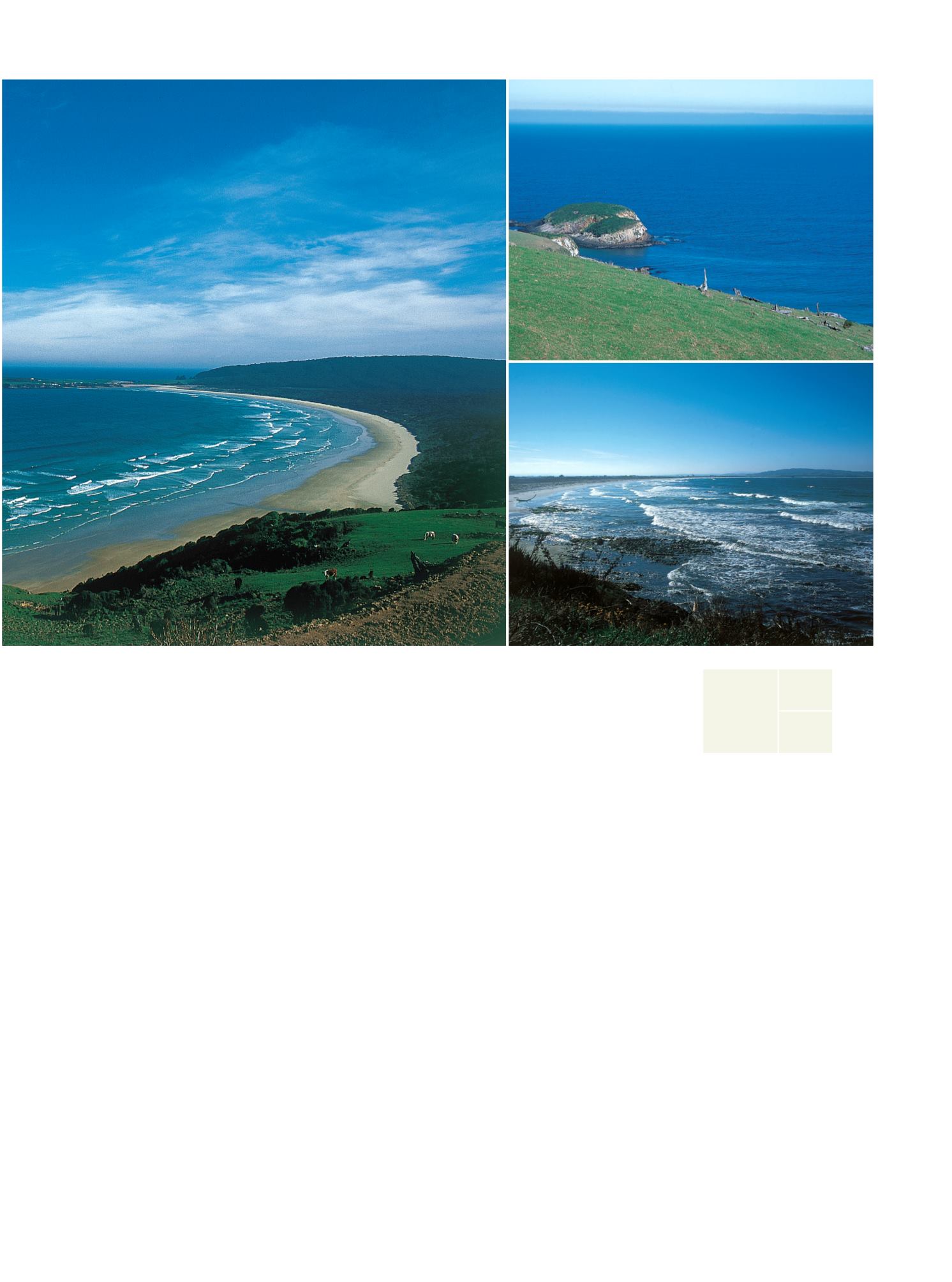
Los Catlins son unas colinas que al llegar al mar,
forman unas bahías hermosas
The Catlins hills reach down to the sea,
forming beautiful bays


