·amura·
47
compás int • int compass
THE TIBETAN PLATEAU
The historic Tibet covers an area of approxi-
mately 2.5 million square kilometers, slightly
larger than Mexico. Its average elevation above
sea level is 4,000 meters. At this point, the trans-
parency of the air virtually shortens distances,
the sky has a deep blue, the sun’s rays are pro-
jected harder and the clouds seem closer.
Tibet is surrounded by high mountain ranges.
To the south, it has the Himalayas, with the highest
peaks in the world, which separates the Tibet region
from India, Nepal, Bhutan andMyanmar. To thewest,
there are the Karakoram separate Tibet from Kash-
mir, Pakistan and Russia. And to the north, the Kun-
lums separate Tibet the region frommainland China.
Tibet is called “The Third Pole” due to its mas-
sive glaciers. It is the cradle of the major rivers in
Asia, the Brahmaputra, Indus, Salween, Ganges,
Yangtze, the Yellow River and the Mekong.
Due to its high altitude, Tibet has an extreme
climate. In the mountains icy winds lash tem-
peratures down to -40 degrees. In the valleys the
weather is nice and warmmost of the year, as well
as in the capital city, Lhasa.
Within this vast territory , mostly arid, we can
find climates from subtropical in the east where
rice, bananas, peanuts and tea are grown, to the
fertile moderate climate valleys of central Tibet,
which are characterized by the production of po-
tatoes, barley, oats, tomatoes and corn.
LA MESETA TIBETANA
El Tíbet histórico seextiendeenuna superficie aproxi-
mada de 2,500,000 Km2, un poco más grande que la Re-
públicaMexicana. Suelevaciónpromedio sobre el nivel del
mar es de 4,000metros. A esta altura, la transparencia del
aire acorta virtualmente las grandes distancias, el cielo
presenta un azul profundo, los rayos del sol se proyectan
más intensamente y las nubes parecenmás cercanas.
El Tíbet se encuentra rodeado por elevadas cor-
dilleras montañosas. Al sur se encuentran los Hima-
layas, con los picos más altos del mundo, separan
esta región de la India, Nepal, Butan y Mianmar. Al
oeste las montañas Karakorum, de Cachemira; Pa-
kistán y Rusia. Al norte, las cumbres Kunlums de la
China continental.
Al Tíbet se le llama “El Tercer Polo”, por sus enor-
mes glaciares. Es la cuna de los ríos más importantes
de Asia: el Bramaputra, el Indo, el Salween, el Ganges,
el Yangtze, el Río Amarillo y el Mekong.
Debido a su gran altura, el Tíbet cuenta con climas
extremosos. En las montañas azotan vientos glaciales,
descendiendo las temperaturas hasta -40 grados; sin
embargo, en los valles el clima es agradable y templado
lamayor parte del año, como en la ciudad capital: Lhasa.
Dentro de esta enorme extensión territorial, en
su mayoría árida, encontramos también climas desde
los subtropicales en el este, donde se cultivan arroz,
plátano, cacahuate y té, hasta los templados de valles
fértiles del centro del Tíbet, que se caracterizan por la
producción de papa, cebada, avena, jitomate y maíz.
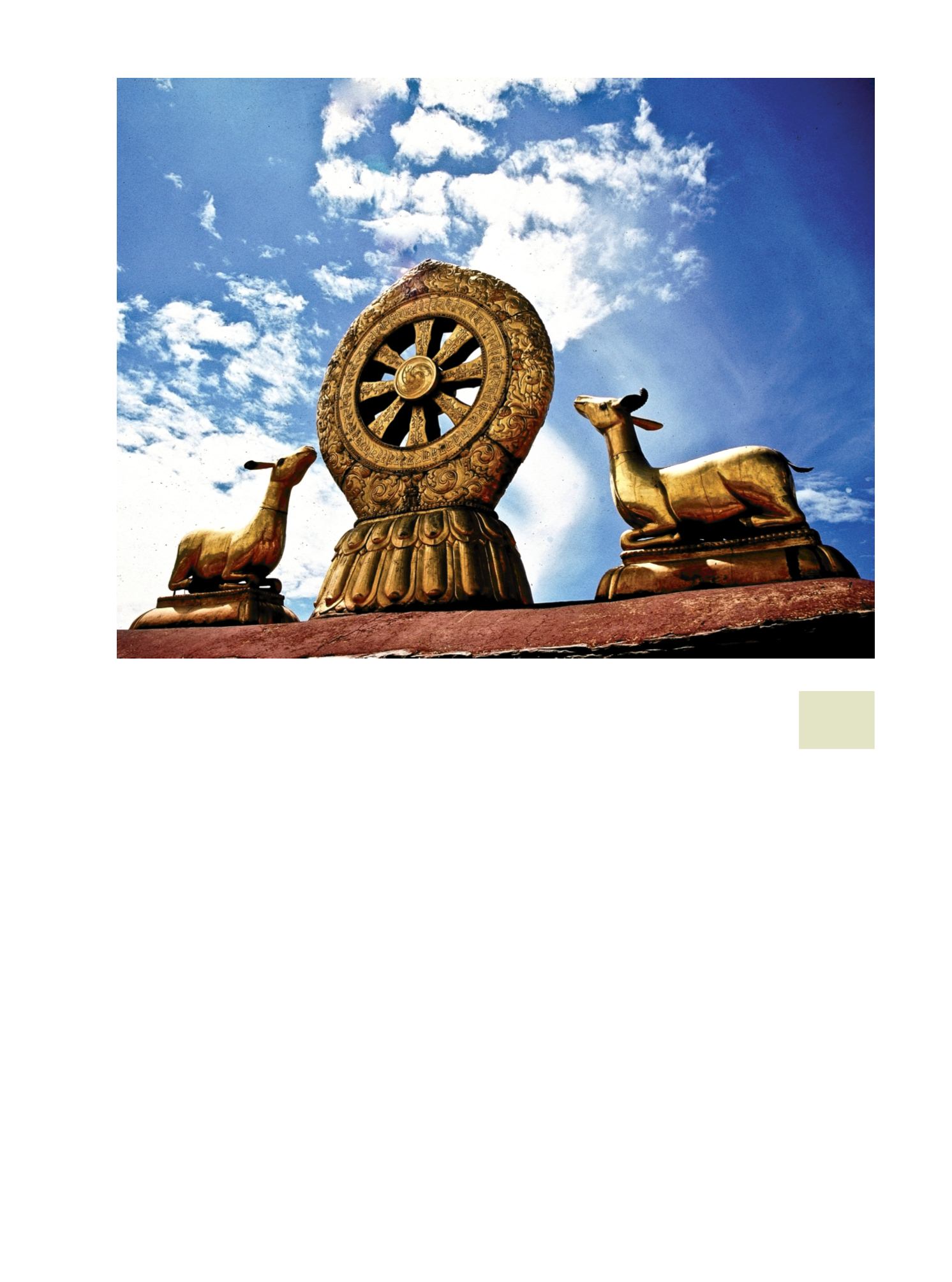
9.Símbolos de ora-
ción en la tradición
budista.
/ Symbols
for prayer in the
Buddhist tradition.
9


